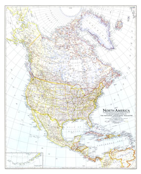
The North America map of May 1942 shows the continent just months after Japan attacked Pearl Harbor, bringing the United States into World War II. U.S. Naval bases are noted and an inset map of the Aleutian Islands is included. The 1942 North America map features:
• Inset map of the Aleutian Islands
• Capitals of countries, states, and provinces, and major cities
• Railways, highways, and projected highways
• Mountain ranges, major rivers, major lakes, and glaciers
• Naval bases
• Ruins
Coverage Area: North America, Greenland, Iceland, Central America, West Indies, Columbia, Venezuela
|


 Click here to zoom!
